GIS

Department Maps


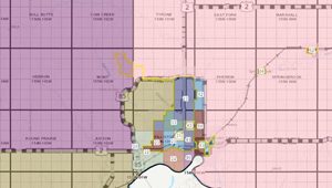
Planning & Zoning Maps
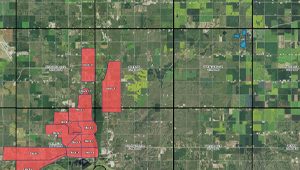
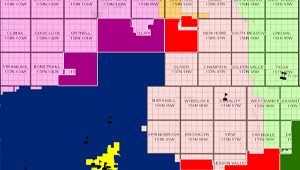
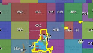
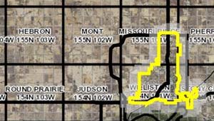
District Boundary Maps
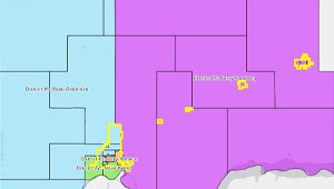
Find your local County Commissioner or Legislative member
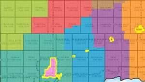
As of July 1, 2023
As of July 1, 2023
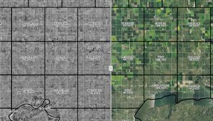
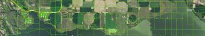
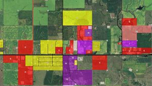
Property Maps
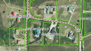
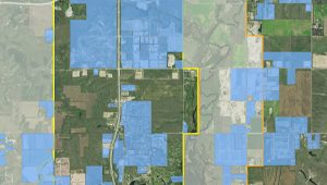
This new map provides the combined functionality of the Master Address Viewer and Parcel Viewer.
NEW! Find parcel ownership, zoning, and taxing district information all in one place.